Start hereA current first-session walkthrough of the editor—from opening data to editing, analysing and exporting it safely.
- Editor layout
- Local data
- Selection
- Advanced GIS
- Processing
- Validation
- Export
Read the walkthrough 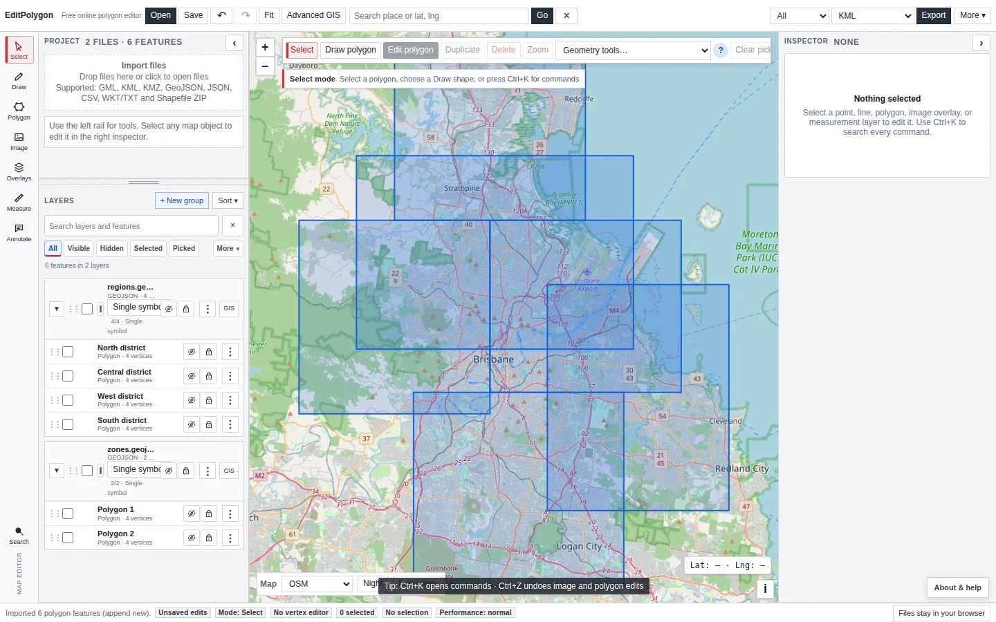
Start here
Learn the current editor and the browser-local workflow.
Start hereA current first-session walkthrough of the editor—from opening data to editing, analysing and exporting it safely.
Open guide → Core editing
Layers, selection, geometry editing, styling and data tables.
Core editingUnderstand the difference between what is visible, filtered and selected—and how those states affect editing and Processing.
Open guide →Core editingCreate and reshape points, lines and polygons with direct map tools, snapping, topology and Geometry code.
Open guide →Data workspaceEdit typed attributes, calculate fields, build filters, inspect statistics and export clean attribute-only CSV data.
Open guide →Data workspaceApply single-symbol, category and numeric styling and configure labels without changing source geometry.
Open guide → GIS & analysis
Processing, joins, Geometry Health, CRS and large-data workflows.
GIS processingRun repeatable vector operations with explicit input scopes, non-destructive previews and auditable outputs.
Open guide →Spatial analysisRelate features by location, copy attributes, create one output per spatial match and summarise overlapping data.
Open guide →Geometry HealthFind structural and topology problems, apply safe cleanup and review shape-changing repairs before creating a repaired layer.
Open guide →CRSUnderstand source, storage and export CRS, correct misinterpreted coordinates and choose projected processing safely.
Open guide →PerformanceKeep large layers usable by choosing the right import, visibility, scope, preview and processing strategy.
Open guide → Data sources & outputs
Local formats, remote services, export and project recovery.
Local dataOpen common vector formats directly in the browser and understand which formats must remain packaged.
Open guide →Web dataConnect directly to ArcGIS services, GeoJSON, WMS and tile sources while keeping local files browser-local.
Open guide →OutputsChoose the correct scope and format, export geometry or attributes, and preserve complete work in an EditPolygon project.
Open guide →MobileUnderstand the mobile drawers, map controls and workflows that differ from the desktop layout.
Open guide → Task & format guides
Focused workflows for common search and operational tasks.
KML / KMZOpen KML or KMZ geometry, edit it with the current tools, validate it and export a verified result.
Open guide →GeoJSONEdit GeoJSON visually, work directly with Geometry code, manage attributes, run Processing and export the required scope.
Open guide →GML curvesPreserve CircleByCenterPoint geometry as centre-and-radius data and understand when polygon conversion is required.
Open guide →AggregationUse Processing → Dissolve for repeatable merging, preview the result on the map and understand Polygon versus MultiPolygon output.
Open guide →Direct geometry editingUse the feature-specific split tool when you need to cut one active polygon with a deliberate line on the map.
Open guide →ShapefileOpen a complete Shapefile package in the browser, edit geometry and attributes, validate it and export the result without sending the source dataset to EditPolygon.
Open guide →GeoPackageOpen GeoPackage feature tables directly in the browser, edit imported features with the normal GIS workspace and export the result in a supported interchange format.
Open guide →BufferCreate distance-based polygon buffers around points, lines or polygons with an explicit scope, map preview and auditable Processing output.
Open guide →ClipKeep only the portions of an input layer that fall inside a polygon mask, preview the result and preserve the source as a separate layer.
Open guide →IntersectionCreate the geometry shared by two layers, preserve attributes from both inputs and inspect the overlay before committing the result.
Open guide →CoordinatesPaste known latitude/longitude vertices to create a polygon, inspect the ring on the map, edit exact geometry when required and validate the finished shape.
Open guide → Find the right workflow
Common GIS questions
Start with the problem you are trying to solve. Each answer links to the focused EditPolygon workflow rather than duplicating the full documentation.
Can I edit a Shapefile online without uploading it?
Yes. Keep the Shapefile components together in one ZIP and EditPolygon reads the local dataset in your browser.
Edit Shapefile ZIP files online →Can I edit GeoPackage vector data in a browser?
Yes. Supported GeoPackage feature tables can be opened locally and edited as normal project layers.
Edit GeoPackage data online →How do I fix an invalid or self-intersecting polygon?
Use Geometry Health to identify the problem, apply safe cleanup and review any repair that changes shape or topology.
Check and repair geometry →How do I merge or dissolve polygons?
Use Processing → Dissolve when internal polygon boundaries should be removed within one input layer.
Merge and dissolve polygons online →How do I clip GIS data to a polygon boundary?
Use Processing → Clip with the dataset to trim as the input and polygon geometry as the mask.
Clip GIS data with a polygon online →What is the difference between Clip and Intersection?
Clip trims the first input with a polygon mask; Intersection creates shared geometry and combines attributes from both inputs.
Intersect GIS layers online →How do I create a polygon from coordinates?
Use Draw → Add by coordinates for known geographic latitude/longitude vertices, then inspect and validate the resulting ring.
Create a polygon from coordinates online →Can I edit GeoJSON visually and as exact geometry?
Yes. GeoJSON features can be edited on the map, through Geometry code and through the normal attribute and Processing workspaces.
Edit GeoJSON online →Do local GIS files stay in my browser?
Yes. Local files are processed browser-side; remote services are contacted only when you deliberately add those web sources.
Open and import GIS data →How the documentation is organised
Direct editingDrawing, vertex editing and feature-specific geometry changes live on the map.
Data workspaceAttributes, selection, filters, styling, fields, joins and CRS are organised in the Data/GIS interface.
ProcessingRepeatable scoped analysis and geometry operations run through one Processing Toolbox.
Browser-local firstLocal files stay in your browser; remote services are contacted directly only when you add them.